The Free Network We Keep Overlooking: Britain’s B-Roads, Done Properly
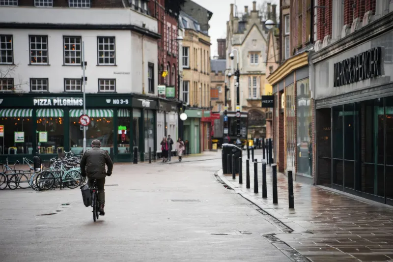
Gravel has had a brilliant run. It sells bikes, fills Instagram and makes every farm track sound like a frontier. But on a wet Tuesday in 2026, most UK riders do not need a frontier. They need a signed, surfaced road with a decent sightline, a café within reach and a way home that does not involve washing mud out of their ears. That network already exists. It is called the B-road, and we spend far too much time pretending it is boring.
The case against the gravel fantasy
A proper gravel route can be brilliant. It can also be a muddy bridleway with a locked gate, a horse box reversing out of a gateway and a surface that changes from chipseal to soup in 20 metres. For commuters, weekend riders and newcomers, that is a lot of admin for a ride that may not even work in January.
B-roads are different. They are mapped, maintained and mostly open all year. You do not need a specific bike, a gravel permit or a car to reach the start. You can ride them on a hybrid, a tourer, a road bike with 28mm tyres or an e-bike. They connect towns, villages and stations. They are, in short, the most accessible free cycling network Britain has — and the one we ignore because it does not look adventurous enough on a thumbnail.
The trick is not to pretend every B-road is a hidden gem. Some are commuter rat runs, some are farm arteries, some are surfaced in a way that suggests a council ran out of money in 1998. The skill is knowing which ones to ride, when to ride them and how to read the road before you commit.
Reading a B-road before you ride it
Start with the map, not the mood board. A B-road number tells you it is a secondary route, not that it is quiet. Look at how it connects: does it link two market towns, a school and an industrial estate? Expect traffic. Does it wander between villages with no through purpose? Better. Use Ordnance Survey mapping, satellite views and street-level imagery to spot the clues — school signs, farmyards, double white lines, tight hedges, blind crests and lay-bys that suggest lorries.
Time matters as much as tarmac. School drop-off and pick-up turn innocent lanes into short, sharp rush hours. Farm traffic moves early, late and hard during harvest. A road that feels empty at 11am can be a different animal at 8.30am or 4pm. If you are commuting, test the route on a non-work day first, then adjust your start time by 15 minutes. That small change often removes the worst of the traffic without changing the road at all.
Surface and sightlines are the other half of the job. British B-roads are patchworked: smooth resurfacing, rough chipseal, sunken drains, gravel washed out of field entrances and mud dragged across bends. Ride within what you can see. On blind bends, assume there is a tractor, a horse or a pothole just out of view. On narrow stretches, take the lane when it is safer than being squeezed, but give way generously. This is not a race; it is a network.
Three loops that do the talking
These are not gravel epics. They are sensible, café-backed loops that show what B-road riding can be when you pick the right stretches and the right time of day.
Cheshire: the Tatton fringe loop, around 24 miles. Start in Knutsford, head out through Mobberley and Ashley, and use the quieter lanes to the south of Tatton Park. The café stop is a garden centre near High Legh — unglamorous, warm and exactly what a winter ride needs. The roads are a mix of B-road and quiet lane, with enough options to shorten the loop if the weather turns. Go early on a Sunday or mid-morning on a weekday; avoid the school run through the villages.
Northamptonshire: the Oundle edge, around 20 miles. A loop out through Benefield and Wadenhoe, using the B-road spine and quieter lanes between villages. Stop at a village café or farm shop near Lyveden. This is gentle, rolling country where the B-roads are wide enough to be comfortable but quiet enough to feel like a proper escape. Watch for farm traffic on the lanes and gravel on the bends after rain.
Yorkshire: the Crayke and Husthwaite circle, around 18 miles. Start in Easingwold, climb gently towards Crayke, then loop through Husthwaite and back on the quieter B-road approaches. There is a café in Crayke and a shop in Easingwold for supplies. The sightlines are better than they look from the map, but the hedges are high in summer. Ride it in the morning or late afternoon and you will see why this kind of riding has quietly sustained British cyclists for decades.
Kit, mindset and the point of it all
You do not need much. A bike with 28mm tyres or more, mudguards, working lights and a basic repair kit will cover most of it. A paper map or a charged phone is useful because B-road networks are brilliant until a sign points you at a dual carriageway. Pack a layer, some food and a bit of patience.
The mindset is just as important. Do not chase segments on roads you do not know. Do not assume a quiet stretch will stay quiet. Do not treat every lane as a challenge to be conquered. Treat the B-road network as what it is: a free, practical, year-round way to get out of town, link villages and find a café without needing a car, a permit or a personality change.
Gravel is fun. But Britain’s B-roads are the quiet workhorse of UK cycling, and in 2026 they deserve better than being called boring. Pick a stretch, time it properly, ride within what you can see and stop for tea. That is not a compromise. It is the whole point.